Las Trampas to Mt Diablo Regional Trail
(888) 327-2757
Contact and Address
| Category: | Park, |
|---|---|
| Address: | 1099-1067 La Gonda Way, Danville, CA 94526, USA |
| Postal code: | 94526 |
| Phone: | (888) 327-2757 |
| Website: | https://www.ebparks.org/parks/trails/las_trampas_to_mt_diablo_regional_trail/default.htm |
Hours:
| Monday: | 5:00 AM – 10:00 PM |
|---|---|
| Tuesday: | 5:00 AM – 10:00 PM |
| Wednesday: | 5:00 AM – 10:00 PM |
| Thursday: | 5:00 AM – 10:00 PM |
| Friday: | 5:00 AM – 10:00 PM |
| Saturday: | 5:00 AM – 10:00 PM |
| Sunday: | 5:00 AM – 10:00 PM |
Location & routing
Most Recent Reviews
(January 8, 2021, 2:33 pm)This is an extension of the Las Trampas Regional Wilderness Trail that emanates from the park off of Bollinger Canyon Road on the west side.
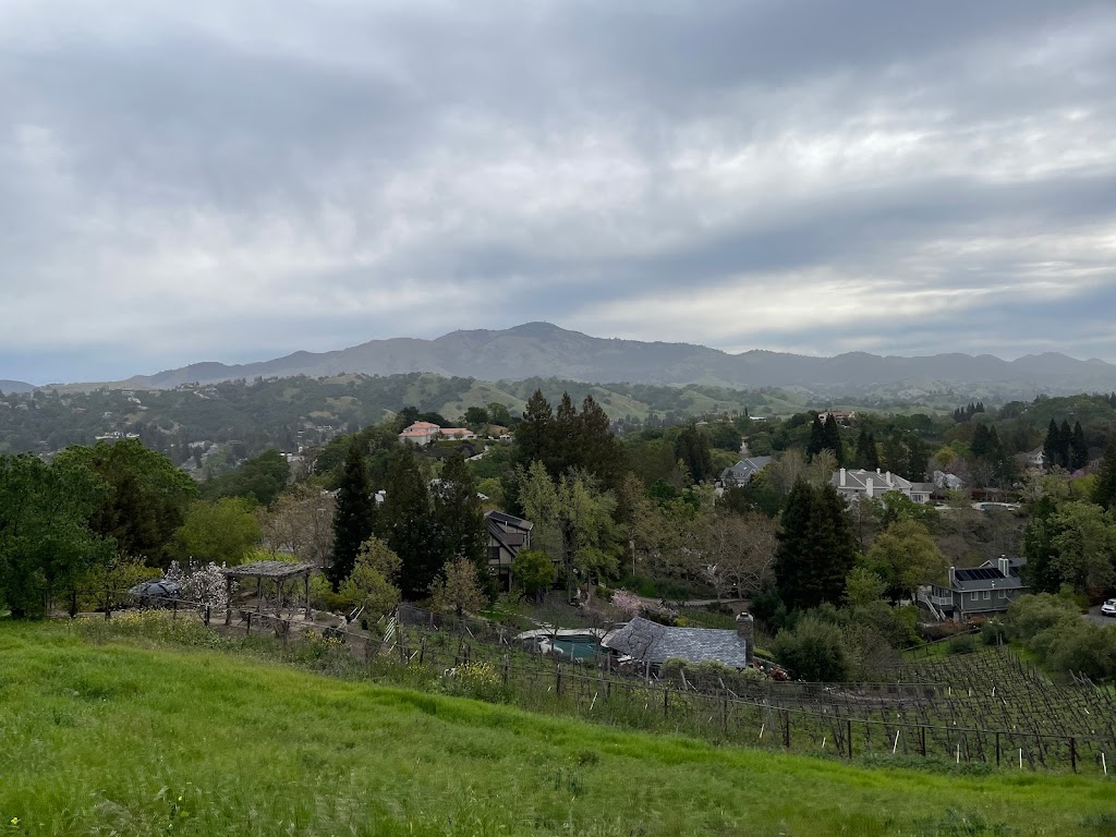
This particular section runs from about Hap Magee Ranch Park through a few communities and to the Macedo Ranch Staging Area, and entrance point to Mt. Diablo State Park. I've taken the Hap Magee portion to about Stone Valley Road before and today did the leg that runs from Stone Valley Oaks towards Macedo Staging Area.
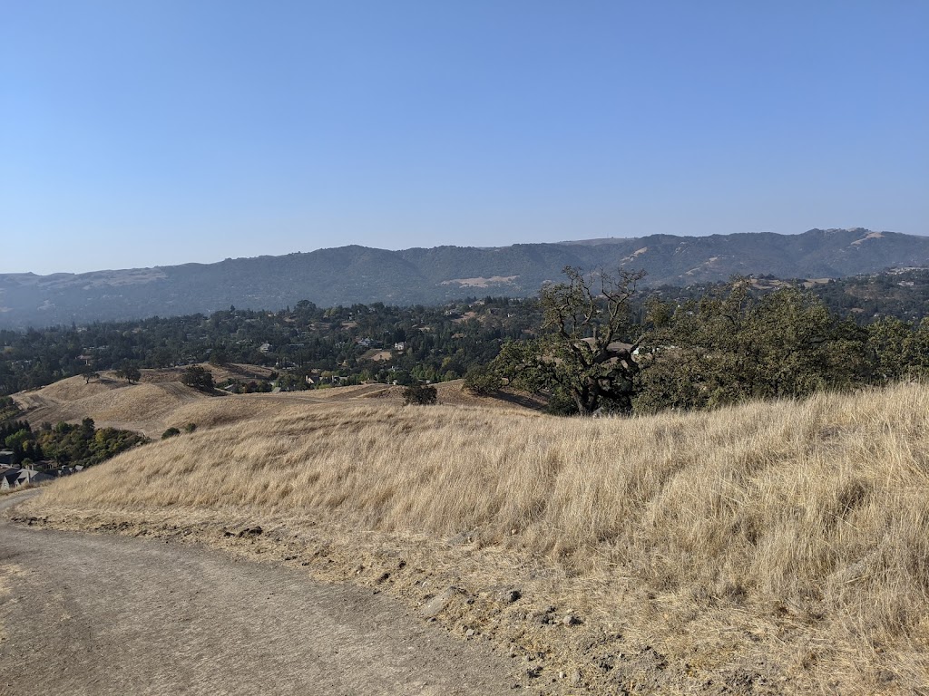
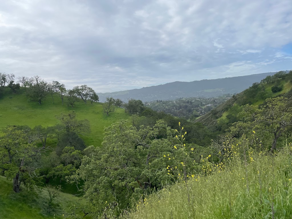
It has a steep incline in the beginning, mostly clear of brush on the trail/path. As it hits a summit near Oakshire Place, the trail becomes considerably narrower and has lots of instances of ticks.
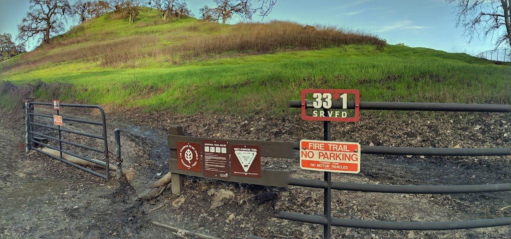
It has some switchbacks that take you to an intersection with the Briones to Mt Diablo trail, and on a little further to the Macedo Staging area once you arrive there, there are no dogs allowed at Mt Diablo State Park or any of it's entrances, and, there's a resident ranger station there so you'll have to loop around the fence to exit onto Green Valley Rd if with a dog.
If not, carry onwards to Mt. Diablo..I'll update this when I take that leg of the trail. Happy trails!
(July 8, 2019, 3:56 pm)Seldom traveled multi-use regional trail connecting neighboring communities, Las Trampas and Mt. Diablo Regional trails. Be careful, it often has lots of goat-head thorns and there were some bobcats spotted throughout the area.
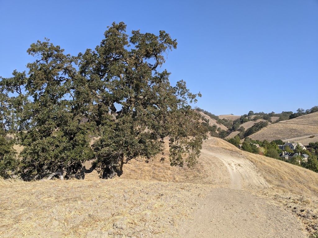
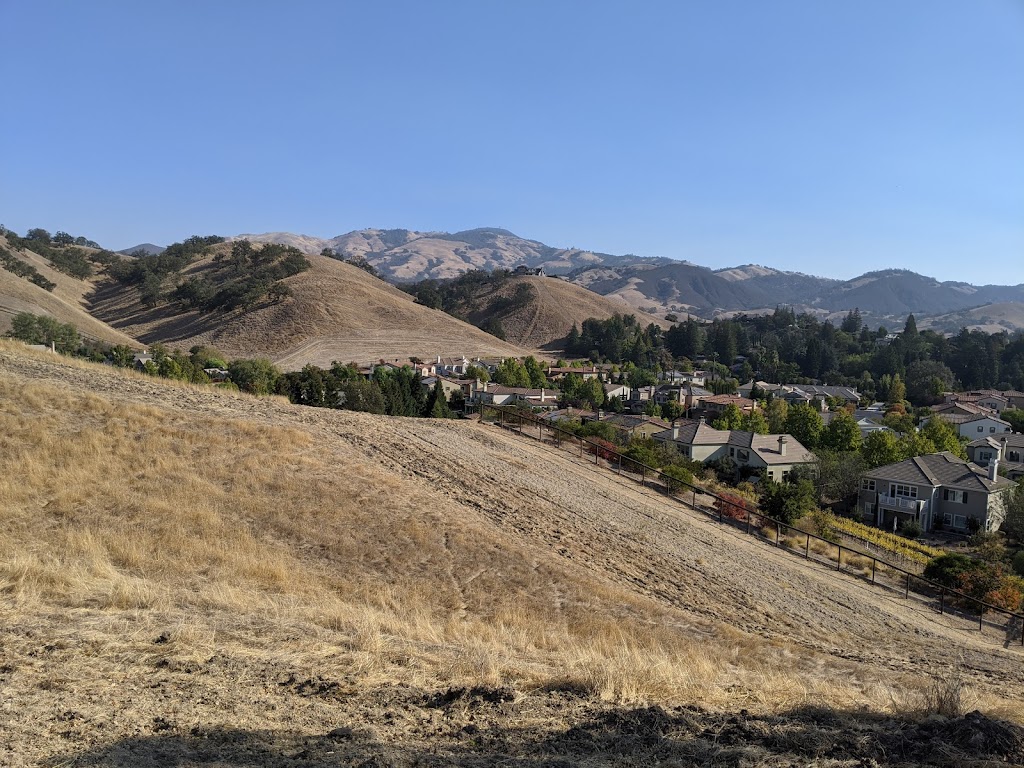
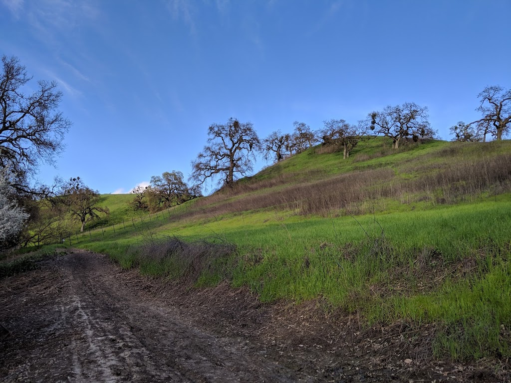
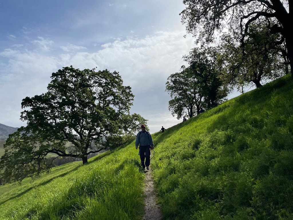
Photos of Las Trampas to Mt Diablo Regional Trail
Las Trampas to Mt Diablo Regional Trail On the Web
Las Trampas to Mt. Diablo Regional Trail | East Bay Parks
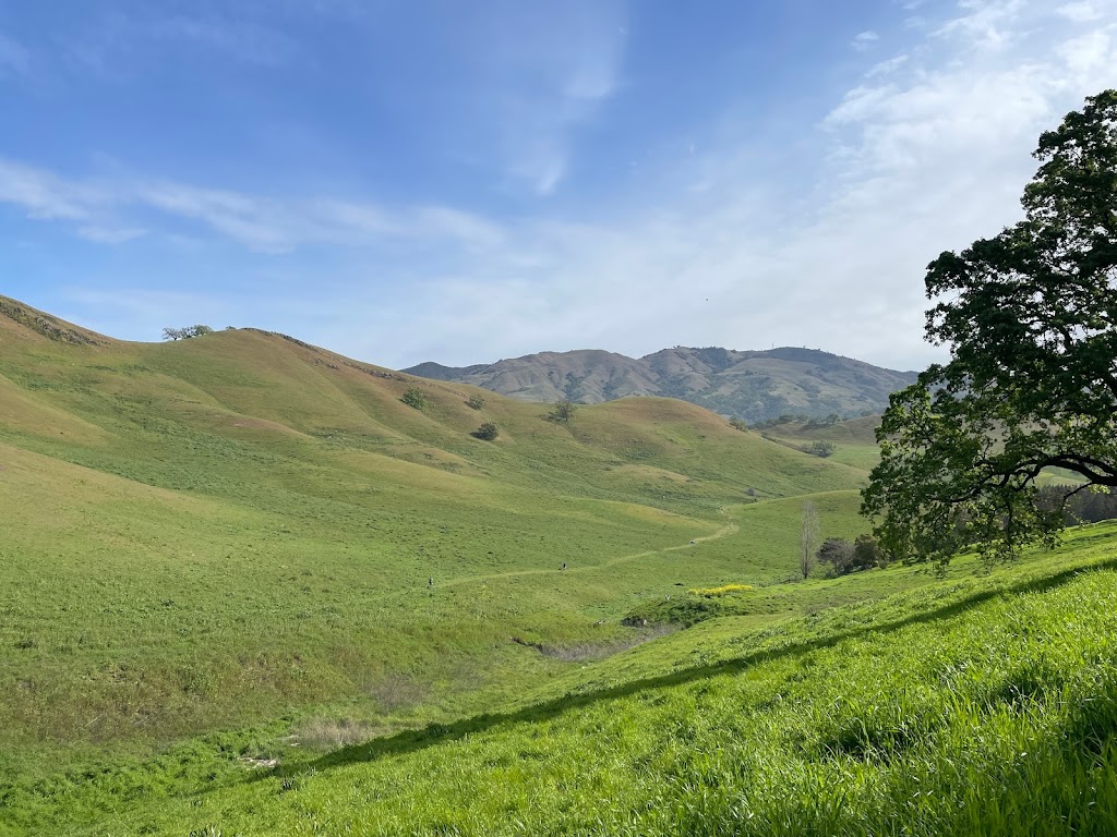
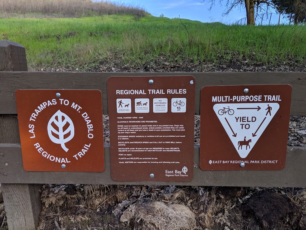
This hiking and equestrian trail connects Las Trampas Regional Wilderness to Mount Diablo State Park. Completed in 1997, this five-mile trail connects two of the most significant open space parklands in central Contra Costa County.
Las Trampas Wilderness Regional Preserve | East Bay Parks
Las Trampas Wilderness Regional Preserve offers 5,778 acres of wilderness and an expanded trail system that allows hikers and horseback riders to enjoy its remote and rugged areas. The park's size and terrain allow visitors a feeling of privacy and escape from urban hustle and bustle.
Mt diablo trail map pdf - rgv.atlasinter.shop
Mar 31, 2020 · Mt. Diablo Falls Trail Falls Trail offers views of several waterfalls and cascades. Spring brings great displays of wildflowers and colorful rock formations. Trail Head: The hike begins at the end of Regency Road in Clayton. Parking is free. The Regency Gate Trailhead is known to Google maps.
Mt diablo trail map pdf - kgz.polskituiteraz.pl
Before hiking in Mt. Diablo State Park, obtain a detailed trail map at the park or call the Mount Diablo Interpretive Association at (925) 927-7222. Regional Trail connections at the west side of this park include the Briones-to- Mt. Diablo Trail and the Las Trampas-to- Mt. Diablo Trail. For.
If you're looking for a Bay Area camping getaway filled with expansive ...
Directions Nearby 7.80 mi · 2,299 ft AllTrails 4.5/5 Rock City to the Summit of Mount Diablo is a 7.8 mile moderately trafficked out and back trail located near Danville, California that features beautiful wild flowers and is rated as moderate. The See more on AllTrails.
Mt diablo trail map pdf - qlseq.nanodaemmung.de
Las Trampas Trail; To Elizabeth St. Briones-to-Mt. Diablo Trail NEWT HOLLOW BEAR CREEK STAGING AREA Disabled Accessible Pa r king, Picnicking EBMUD permit required to hike on EBMUD trails outside Briones. Permits available at Briones' Bear Creek entrance kiosk, or call (510) 287-0459.