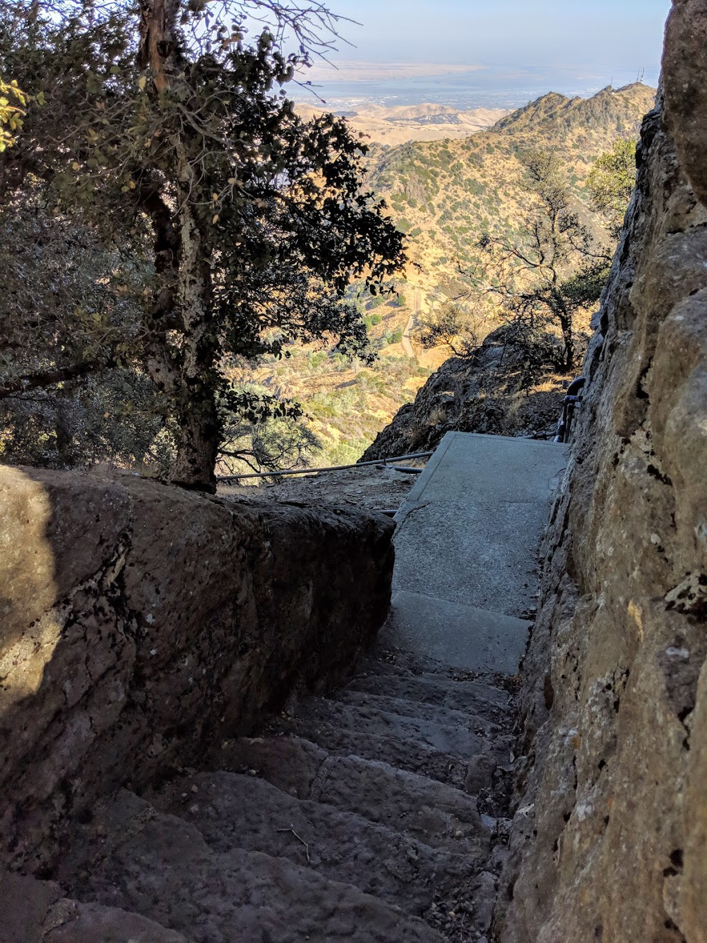
Fire Interpretive Trail
(1 Reviews)
Fire Interpretive Trail, Walnut Creek, CA 94598, USAFire Interpretive Trail is located in Contra Costa County of California state. On the street of Fire Interpretive Trail .
The coordinates that you can use in navigation applications to get to find Fire Interpretive Trail quickly are 37.8809071 ,-121.9171845
The coordinates that you can use in navigation applications to get to find Fire Interpretive Trail quickly are 37.8809071 ,-121.9171845
Contact and Address
| Address: | Fire Interpretive Trail, Walnut Creek, CA 94598, USA |
|---|---|
| Postal code: | 94598 |
Location & routing
Get Directions
Reviews
-
Guna Murugaiyan
(January 13, 2016, 10:50 am)We went on a hike to Mt Diablo. Started from the Mitchell Canyon trial head. And went through fire interpretive trail to Deer Flat. From there to camping area and used to summit trail to get to the summit. It's doable if you are in good shape. Total distance is about 14 miles round trip. Elevation gain is about 3700.
Photos of Fire Interpretive Trail
