Shockeys Knob Trailhead
Location & routing
Most Recent Reviews
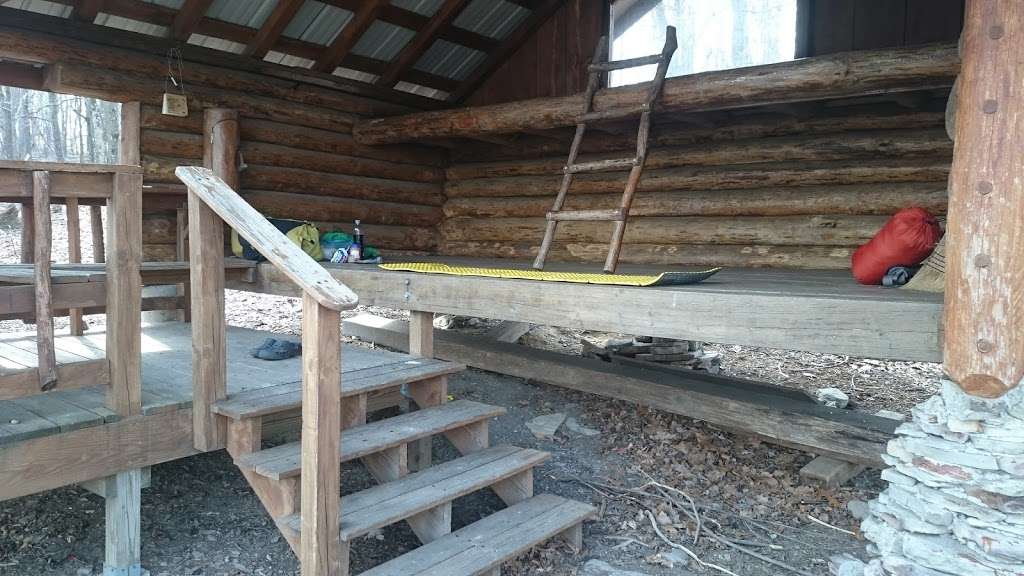
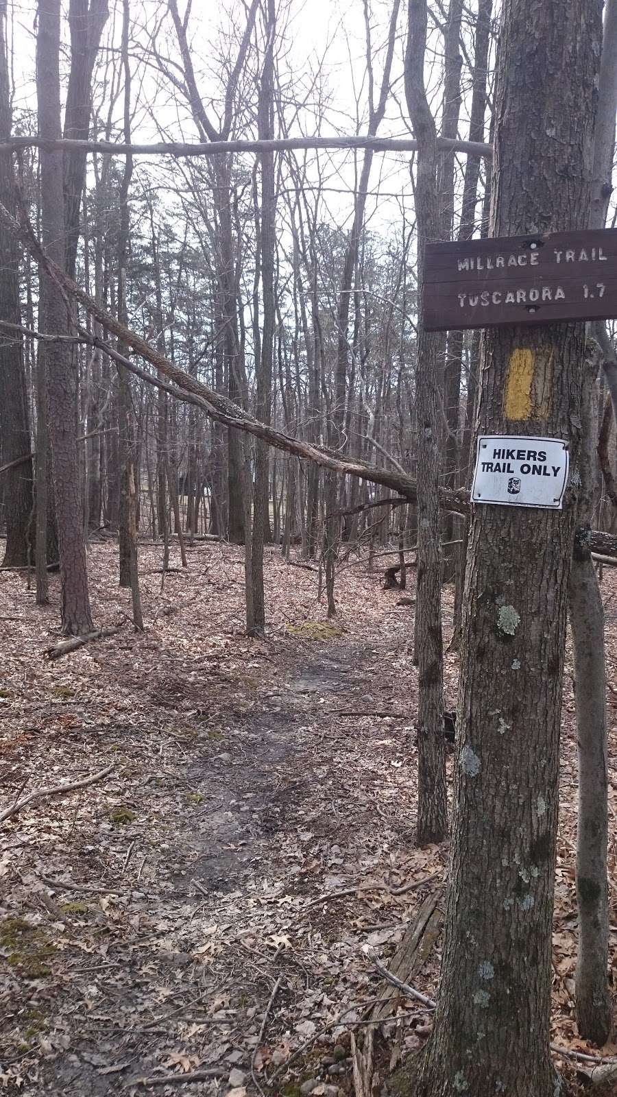
(April 28, 2019, 2:46 pm)This is a loop hike of about 6.4 miles. It uses 3 trails to complete the loop, and it features views from High Rock and several points across the ridge (Sleepy Creek Mountain). Shockey's knob is the highest point and where the PATC maintains a very nice shelter area for hikers. High Rock is a side adventure for those brave enough to climb out of over what is called a mini-knife edge. The best starting point is at the Busch Creek entrance to Sleepy Creek Wildlife Management area (SCWMA). You can choose to hike clock or counter-clock wise. Counter-clock wise is a more gradual ascent to the High Rock area (top of the mountain/ridge). Start counter clockwise on a forest road (white blazes). In about 1.3 miles, the white blaze trail goes left and leaves the forest road. The trail goes down and crosses Busch Creek. Keep following the white blaze trial and start the ascent of the mountain. In about 7/10's of a mile, you will come out at High Rock (top of the Mountain). If you want to explore High Rock, go North for about 100 yards on what is now a blue blazed trail. The blue blazed trail in the Tuscarora trail. On the right is a rock stair case that will take you on top of of High Rock. To continue the hike, go back south on the blue blazed trail. Over the next two miles, you will ascend to the Shockey's Knob area. The trail turns from a jeep road to a narrower hiking trail. Along the way, you will see great views west towards Ca-capon Mountain. After about total of 2 miles from high Rock, you will have the option of continuing on the blue blaze trail. In about 2/10's of a mile, you will find a new sign directing (white blaze trial off to the right) you to the PATC Shockey's knob shelter. I recommend you check this out. Or, you can continue on the blue blaze trail for about 7/10's of a mile until you find the intersection with Mills Race (yellow blaze Trail). One other option going back to the about the 2 mile distance from high Rock, is to turn right and follow the white blaze trial. This takes you along the ridge line (mountain top). In about 3/10's of a mile, the white blaze trail turns left and goes over the ridge top and descends down to Shockey's knob shelter as describe above. It is easy to miss the turn, so stay alert. After getting back to the blue blaze trail and making your way south to the intersection of the yellow blazed trail (Mills Race Trail), turn left and start a steep descent of the mountain. You will descend until you cross Busch Creek and then ascend to cross the ridge and back to the parking lot.
Other notes: use insect repellent from May to October
Best views: with the leaves off the trees Nov to mid April
Overall: Great hike
Credit due: to the person or persons that cleared this trail after the storms in Feb/March of this year (2019)- excellent job (had to be very difficult)
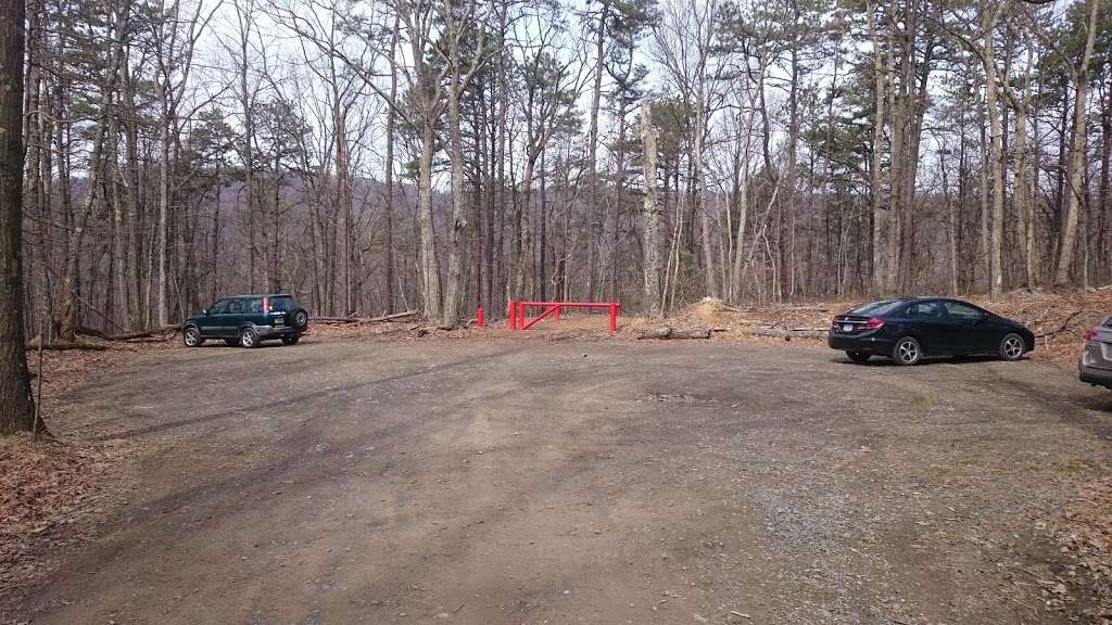
Finding the trail head: off Rt 45 by turning onto Pack Horse Road. The entrance road is on the top of the ridge and is not clearly marked. Take the dirt road on the right between a temporary camper and a garage/storage building).
Photos of Shockeys Knob Trailhead


